File:Pband tec.png
From CASA Guides
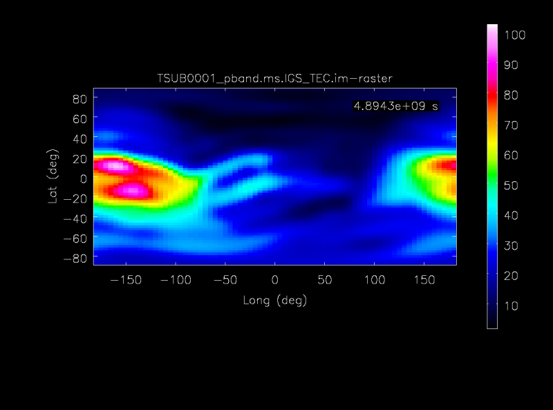
Revision as of 03:51, 17 June 2015 by Preshanthj (talk | contribs) (The IGS measured TEC map above the VLA.)

Size of this preview: 800 × 593 pixels. Other resolution: 1,258 × 932 pixels.
Original file (1,258 × 932 pixels, file size: 23 KB, MIME type: image/png)
The IGS measured TEC map above the VLA.
File history
Click on a date/time to view the file as it appeared at that time.
| Date/Time | Thumbnail | Dimensions | User | Comment | |
|---|---|---|---|---|---|
| current | 03:51, 17 June 2015 | | 1,258 × 932 (23 KB) | Preshanthj (talk | contribs) | The IGS measured TEC map above the VLA. |
You cannot overwrite this file.
File usage
The following 5 pages use this file: