File:Pband tec.png: Difference between revisions
From CASA Guides
Jump to navigationJump to search
Preshanthj (talk | contribs) The IGS measured TEC map above the VLA. |
(No difference)
|
Latest revision as of 07:51, 17 June 2015
The IGS measured TEC map above the VLA.
File history
Click on a date/time to view the file as it appeared at that time.
| Date/Time | Thumbnail | Dimensions | User | Comment | |
|---|---|---|---|---|---|
| current | 07:51, 17 June 2015 | 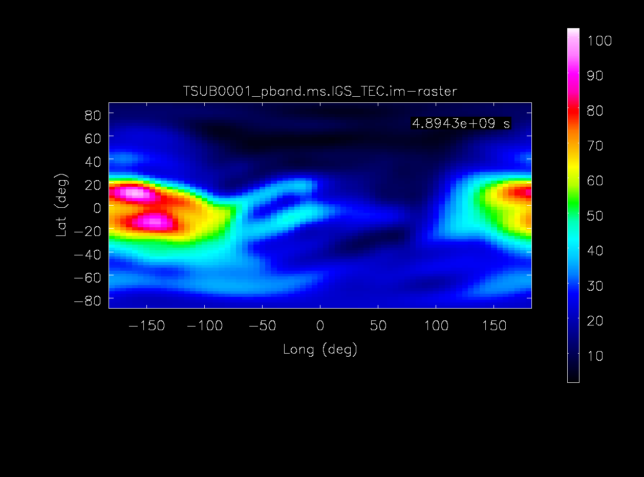 | 1,258 × 932 (23 KB) | Preshanthj (talk | contribs) | The IGS measured TEC map above the VLA. |
You cannot overwrite this file.